Fraunhofer Institute for Wind Energy Systems
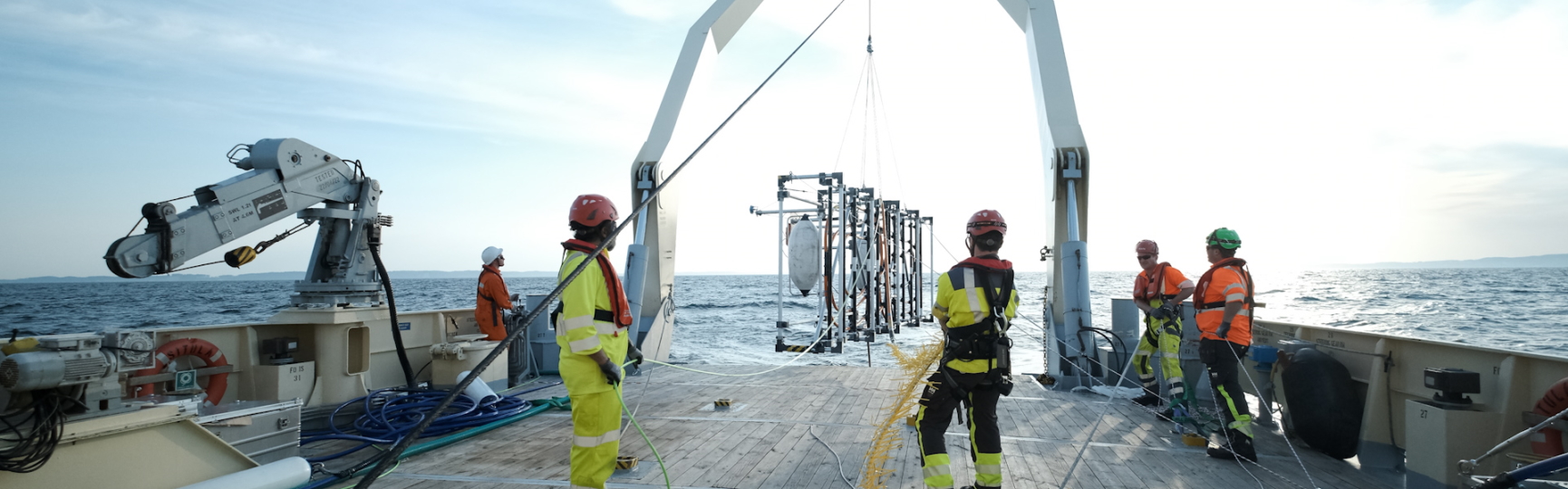
Optimized subsoil models lead to lower risks in offshore wind turbine installation.
The planning and installation of foundations for offshore wind turbines account for a significant proportion of the total costs of wind farms. A detailed understanding of the offshore sub-surface is the basis for the choice of foundation type, design, and installation planning of the foundations.
The optimal mapping of the geological structures in the top 100–200 m below the sea floor using geophysical technologies is the first priority. Geotechnical sampling of the strata is then employed to create an integrated ground model by linking seismic and geotechnical data. The identification of the installation risks, for example due to boulders in glacial deposits, is also crucial for the installation.
Fraunhofer IWES is the world’s leading institute in the development and performance of ultrahigh-resolution seismic surveys for wind farm projects as well as data processing and interpretation up to the creation of ground models.
Offshore wind turbines: Every detail counts - sub-surface investigation on the high seas
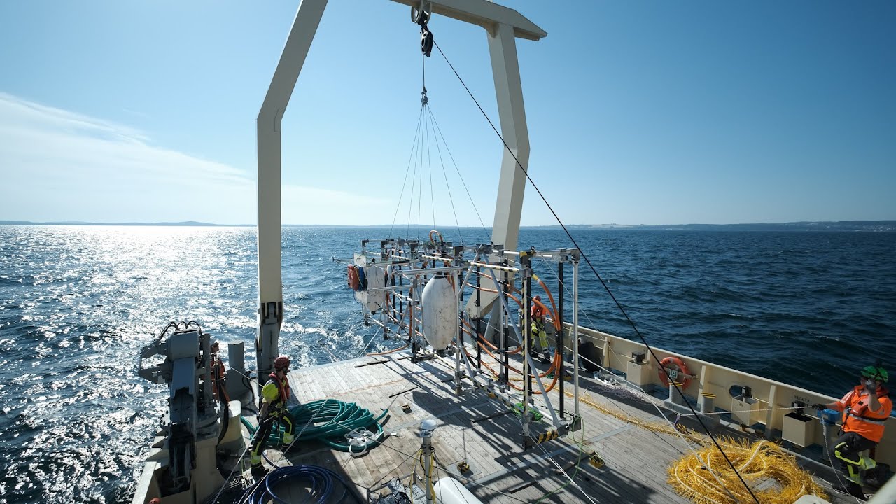
The creation of a ground model begins with the detailed mapping of the sub-surface by means of geophysical technologies. The basis for this is a first-rate surveying campaign employing multichannel seismic methods.
IWES has its own specialized surveying system for ultrahigh-resolution (UHR) seismic data acquisition, which comprises adapted and modular seismic streamer systems, high-frequency seismic signal sources (sparkers), and high-precision positioning solutions.
Seismic technology and measuring techniques are being continuously optimized at IWES. We process data using algorithms, some of which have been specially developed for UHR seismics. Increasing computing capacities permit improved data processing routines and higher mapping quality. One of our focuses is on high-resolution seismic data sets from shallow sea areas: high-precision reconstruction of the acquisition geometry, compensation for wave motion, optimized signal characteristics, and suppression of multiple reflections. The result is an initial sub-surface model of the wind farm areas.
The success of the system and data products in adapting to the requirements of the offshore wind industry has been demonstrated by means of commercial surveys of wind farm areas in the German Exclusive Economic Zone (EEZ).
Local geotechnical in situ data are integrated into this initial sub-surface model to produce a geological ground model (GGM). Profiled seismic data are then combined with geotechnical data (e.g., cone penetration testing (CPT)) for lateral mapping of the geological structures. The result is a clear representation of the sub-surface conditions as well as a detailed characterization of the ground properties.
These models are key planning tools for the development of offshore wind farms. Local geotechnical parameters can be modeled comprehensively in an integrated ground model. In contrast, methods of inversion allow the derivation of geotechnical parameters directly from the geophysical data sets.
Synthetic CPT profiles are generated for the planning and technical design application. Geotechnical lab results can also be integrated into this model via so-called site-specific correlation functions. In this way, it is then possible to generate further design-relevant geotechnical parameters. This provides the offshore wind industry with reliable geotechnical ground properties for the technical design of the wind turbine foundations. The creation of synthetic CPT profiles to support the repositioning of wind turbine sites has been commercially performed and accepted by the certification body.
Geological risks to the installation of foundations come in many forms. Large boulders from glacial deposits are a significant obstacle to installation. Fraunhofer IWES developed a novel measuring system for the reliable mapping of such boulders in the sub-surface. The innovative surveying system utilizes multichannel seismic methods to detect objects via the mapping of diffraction energy.
The identified and localized objects are integrated into a local ground model and documented for risk mapping in the close range (approx. 100 m) via micrositing. IWES has successfully performed this kind of survey in commercial projects in the Baltic Sea. The boulders in the sea floor are mapped using the measuring system in accordance with the respective project requirements, e.g., for the surveying of cable corridors.